
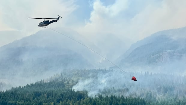
 Highway 1 Reopens in Fraser Canyon Amid Ongoing Wildfires
KillBait - News highlights delivered clearly and responsibly—no clickbait, no sensationalism
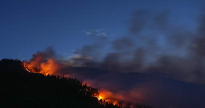
Photo: Global News
2026-07-13 10:45 Environment 10


BC Wildfires 2026: Live Map Tracks Active Fires and Evacuations
B.C.'s wildfire season for 2026 has officially begun, following a cooler start to the season than previous years.A live and interactive map is available to track active wildfires, evacuation orders, and alerts.
The map uses color-coded markers: magenta triangles indicate evacuation orders, yellow triangles denote evacuation alerts, and gray triangles represent outdated alerts.
Wildfires are marked with circles, where magenta signifies out-of-control fires, yellow indicates fires being contained, and green shows fires under control.The map also displays red outlines representing wildfire perimeters, often spanning thousands of hectares, which indicate merged fire clusters.
Specific incidents highlighted include the tragic death of a veteran pilot fighting a wildfire in the Northwest Territories and ongoing threats from the Fraser Canyon wildfires.Residents in affected areas are urged to monitor updates and follow evacuation protocols.
The article emphasizes the importance of real-time data for emergency preparedness and public safety, with the live map serving as a critical tool for authorities and communities to respond to evolving wildfire conditions.
2186
Original title: B.C. wildfires 2026: Live map shows fires burning, locations and evacuations
The AI system has determined that this news is clickbait/sensationalist: : The original title uses hyperbolic language like 'fires burning' and emphasizes real-time tracking, which may prioritize sensationalism over factual reporting. This has coincided with the opinion of the majority of users.
You may also be interested in...
Highway 1 Reopens in Fraser Canyon Amid Ongoing Wildfires
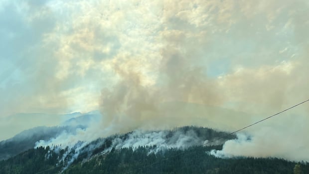 B.C. Wildfire Complex Near Boston Bar Faces Increased Fire Risk Amid Changing Weather Conditions
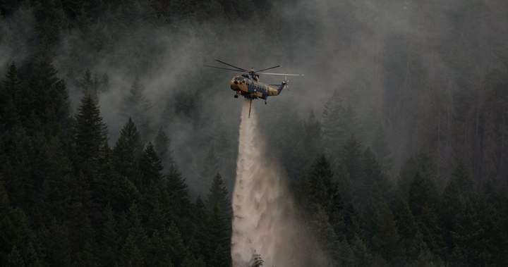 Fraser Canyon wildfires threaten residents and property