
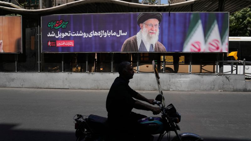
 Iran's Leader Vows Revenge Amid Escalating Tensions with the U.S. and Diplomatic Efforts to Resolve the Crisis
KillBait - News highlights delivered clearly and responsibly—no clickbait, no sensationalism
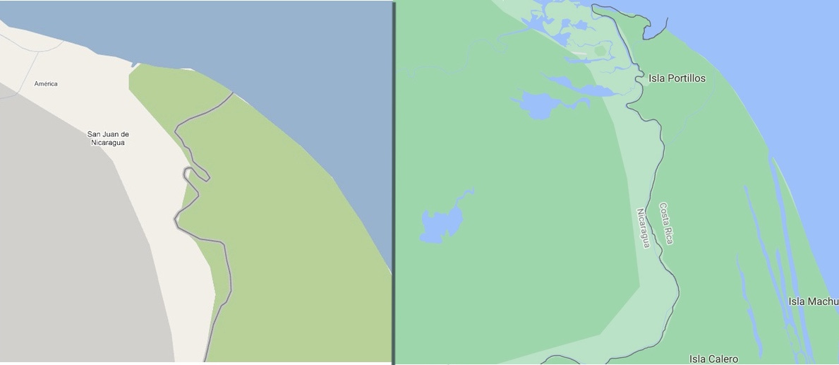
Photo: Fronteras
2026-07-12 09:35 Conflict 12


Territorial Dispute Over Google Maps Border Controversy
In 2010, Nicaragua and Costa Rica engaged in a territorial dispute over a border area near the Río San Juan, with Nicaragua positioning troops on Isla Portillos, which Costa Rica claimed as its territory.
The conflict was fueled by conflicting interpretations of the 1858 Laudo Cleveland border agreement, which left ambiguities about the exact location of the border.Nicaragua argued that satellite imagery from Google Maps supported its claim, while Costa Rica insisted the maps were inaccurate.The dispute escalated diplomatically, with the Organization of American States and the International Court of Justice (ICJ) intervening.The ICJ ultimately ruled in favor of Costa Rica, leading to the withdrawal of Nicaraguan troops and a finalized border demarcation in 2018.The incident highlights how outdated or contested geographic data can spark real-world conflicts, even in the digital age.Google Maps, despite its utility, remains a contentious tool in border disputes due to its reliance on potentially outdated or disputed sources.The resolution underscores the importance of legal frameworks and international diplomacy in resolving territorial conflicts.
2224
Original title: La guerra de Google Maps
The AI system has determined that this news is clickbait/sensationalist: : The original title uses hyperbolic language ('war') to sensationalize a territorial dispute, which is more dramatic than the actual conflict's resolution through diplomacy. This has coincided with the opinion of the majority of users.
You may also be interested in...
Iran's Leader Vows Revenge Amid Escalating Tensions with the U.S. and Diplomatic Efforts to Resolve the Crisis
 Iranian military threatens NATO bases amid regional tensions
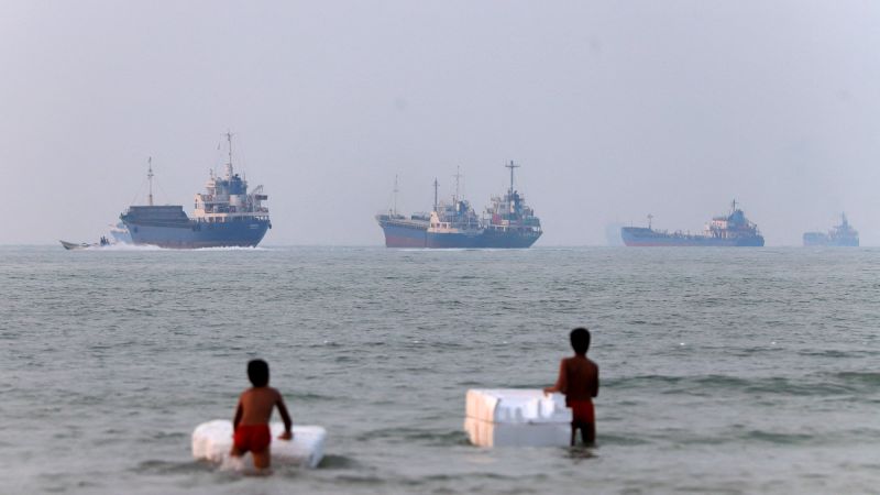 U.S.-Iran Ceasefire Halted as Diplomatic Efforts Resume Amid Hormuz Tensions