
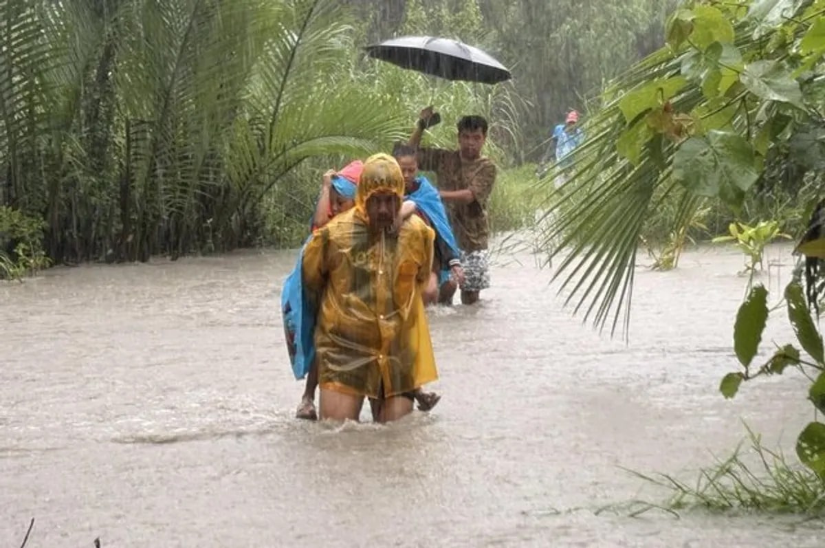
 Severe Flooding in Occidental Mindoro Due to Enhanced Monsoon Rains
KillBait - News highlights delivered clearly and responsibly—no clickbait, no sensationalism
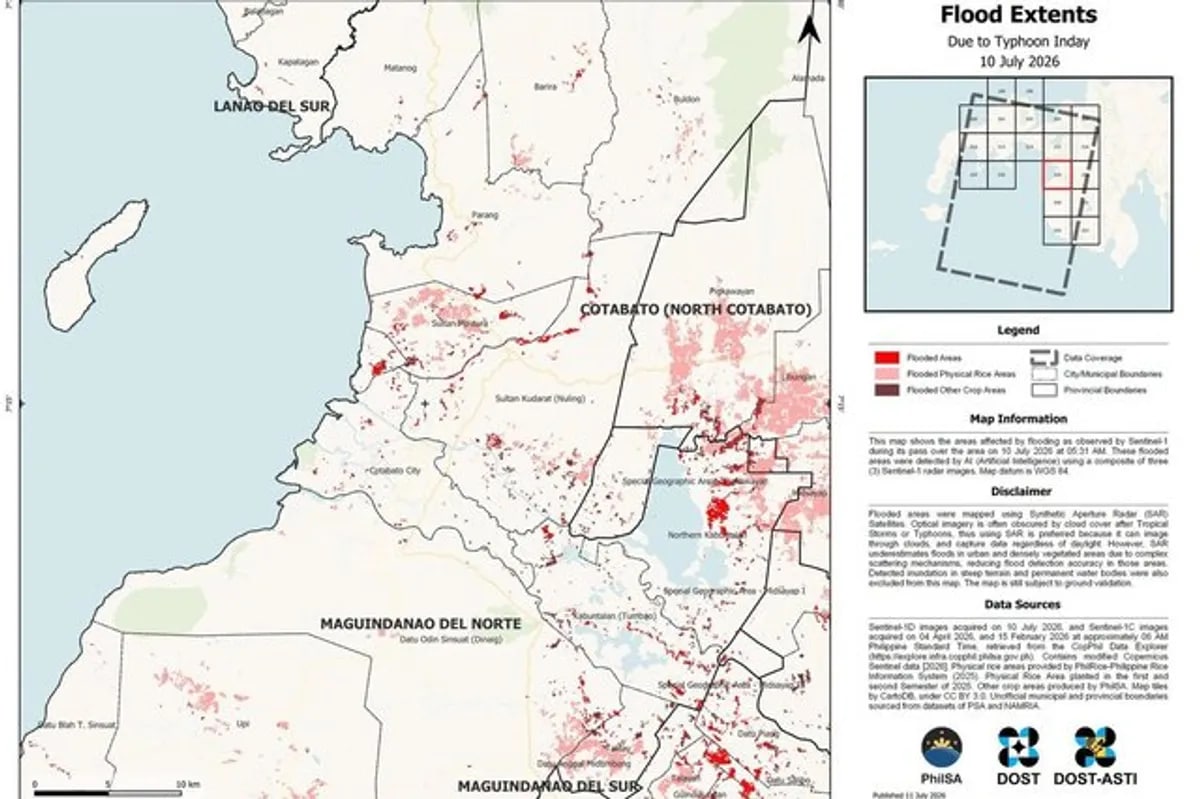
Photo: abs-cbn.com
2026-07-12 06:18 Environment 10


Satellite imagery highlights Inday and Habagat flooding impact in BARMM
Satellite maps have provided critical insights into the widespread flooding caused by the recent typhoons Inday and Habagat in the Bangsamoro Autonomous Region of Muslim Mindanao (BARMM).
These images, captured by advanced weather monitoring systems, showcase the extensive damage inflicted by the storms, including submerged roads, displaced communities, and disrupted infrastructure.The data from these maps is essential for emergency response teams to assess the situation and allocate resources effectively.
Inday, a powerful typhoon that struck earlier in the month, and Habagat, the seasonal southwest monsoon, combined to create unprecedented flooding in low-lying areas of BARMM.Local authorities have urged residents to remain vigilant and follow safety protocols as the region continues to recover.
The use of satellite technology underscores the importance of modern tools in disaster management, enabling real-time tracking of weather patterns and their impact on vulnerable populations.This event highlights the need for improved infrastructure and climate resilience strategies to mitigate future risks in the region.
2186
Original title: Satellite maps show extent of Inday, habagat flooding in BARMM
The AI system has determined that this news is not clickbait/sensationalist: : The original title is straightforward and accurately reflects the content without sensationalism or exaggerated claims. This has coincided with the opinion of the majority of users.
You may also be interested in...
Severe Flooding in Occidental Mindoro Due to Enhanced Monsoon Rains
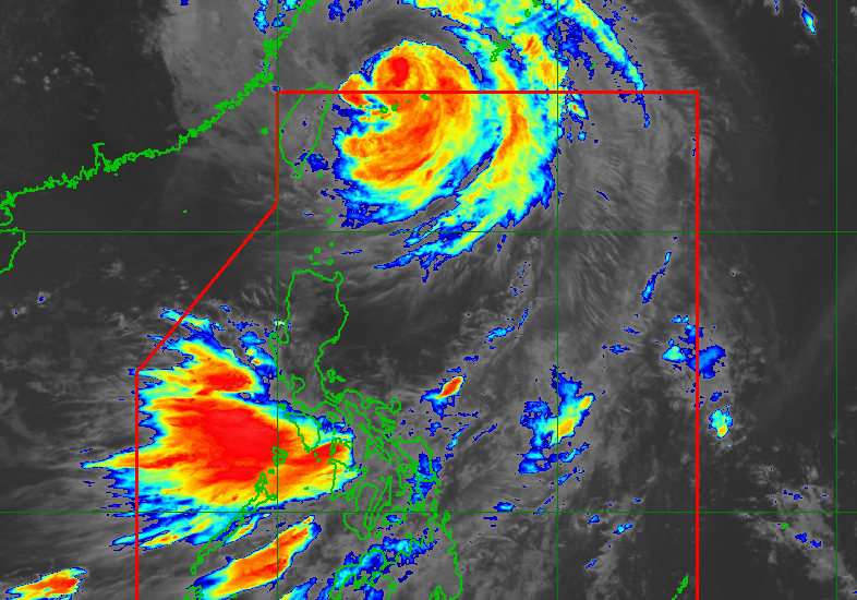 Typhoon Inday's Impact on Southwest Monsoon Persists Despite Exiting PAR
 Filipina biologist honored for biodiversity conservation achievements