
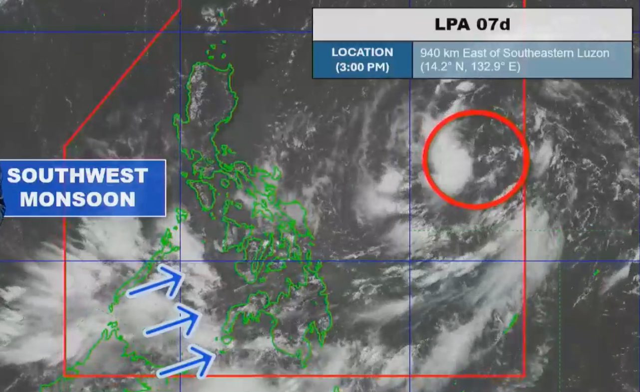
 Potential tropical cyclone Kiyapo and southwest monsoon bring significant rainfall to Philippines
KillBait - News highlights delivered clearly and responsibly—no clickbait, no sensationalism
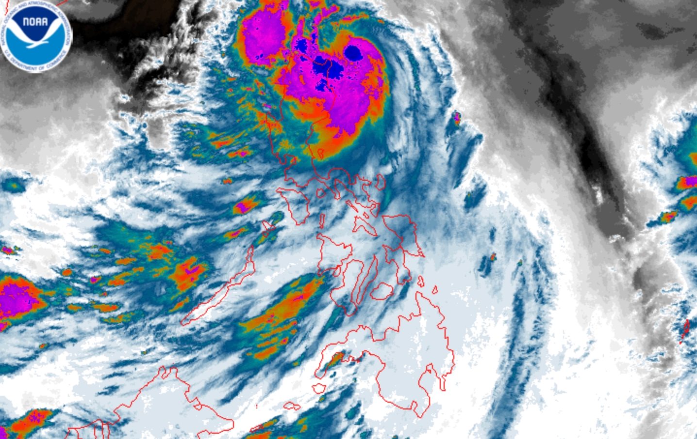
Photo: RAPPLER
2026-07-24 09:49 Environment 10


Tropical Storm Kiyapo Approaches Cagayan, Possible Landfall Expected
Tropical Storm Kiyapo (Noul) intensified further on Friday, July 24, 2026, with maximum sustained winds increasing to 75 km/h.The storm is expected to make landfall in the Babuyan Islands, prompting PAGASA to issue rainfall advisories for several provinces.The storm's trajectory suggests it may exit the Philippine Area of Responsibility by Saturday morning, heading toward China.The weather service has raised Signal No.1 in additional areas due to the storm's proximity.Kiyapo is the 11th tropical cyclone of 2026 and the fourth for July alone.Authorities are monitoring the storm's progress closely, with updates indicating potential intensification into a typhoon.The storm's impact includes heavy rainfall and strong winds, affecting communities in extreme Northern Luzon.Residents are advised to prepare for possible flooding and ensure safety measures are in place.
The situation highlights the ongoing challenges posed by tropical cyclones in the region, emphasizing the need for preparedness and timely weather updates.
2186
Original title: Tropical Storm Kiyapo strengthens further near Cagayan
The AI system has determined that this news is clickbait/sensationalist: : The original title uses phrases like 'strengthens further' and 'near Cagayan' which are attention-grabbing and may exaggerate the immediate threat, making it clickbait. This has coincided with the opinion of the majority of users.
You may also be interested in...
Potential tropical cyclone Kiyapo and southwest monsoon bring significant rainfall to Philippines
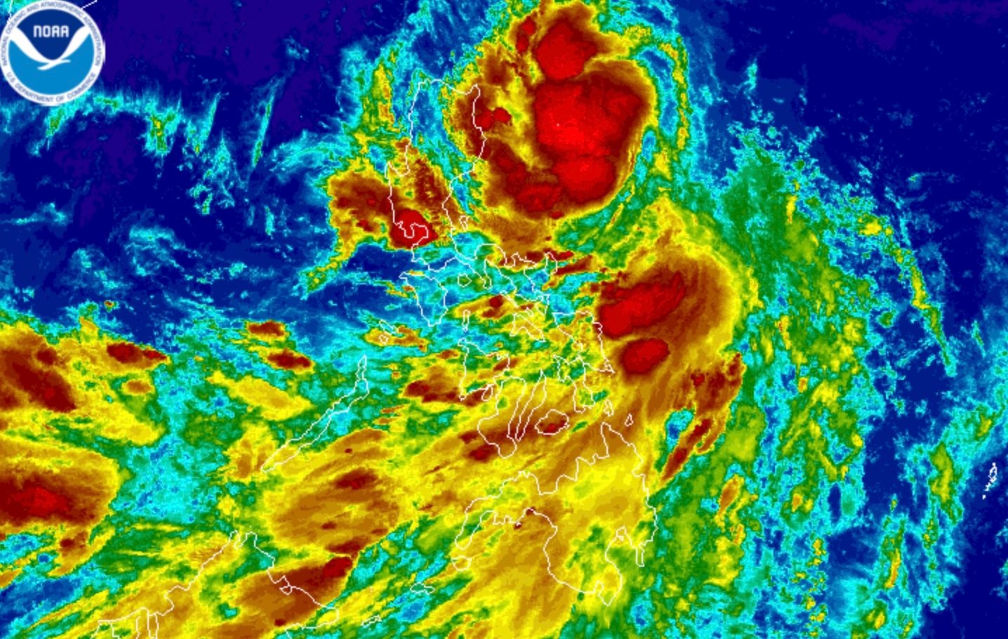 Tropical Depression Kiyapo Intensifies into Tropical Storm, Affects Northern Luzon Provinces
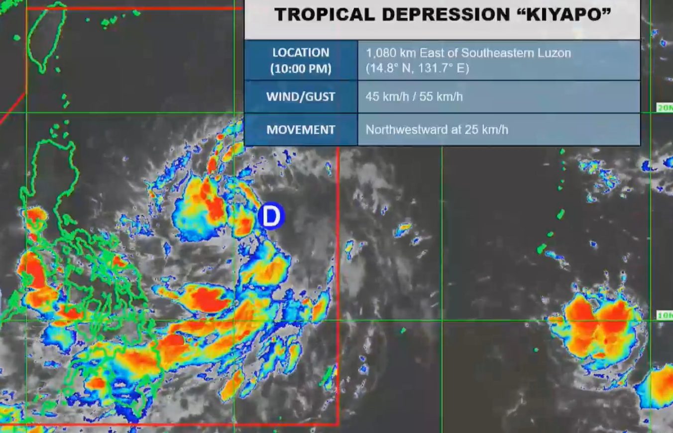 Tropical Depression Kiyapo Approaches Cagayan; PAGASA Issues Forecast Updates