
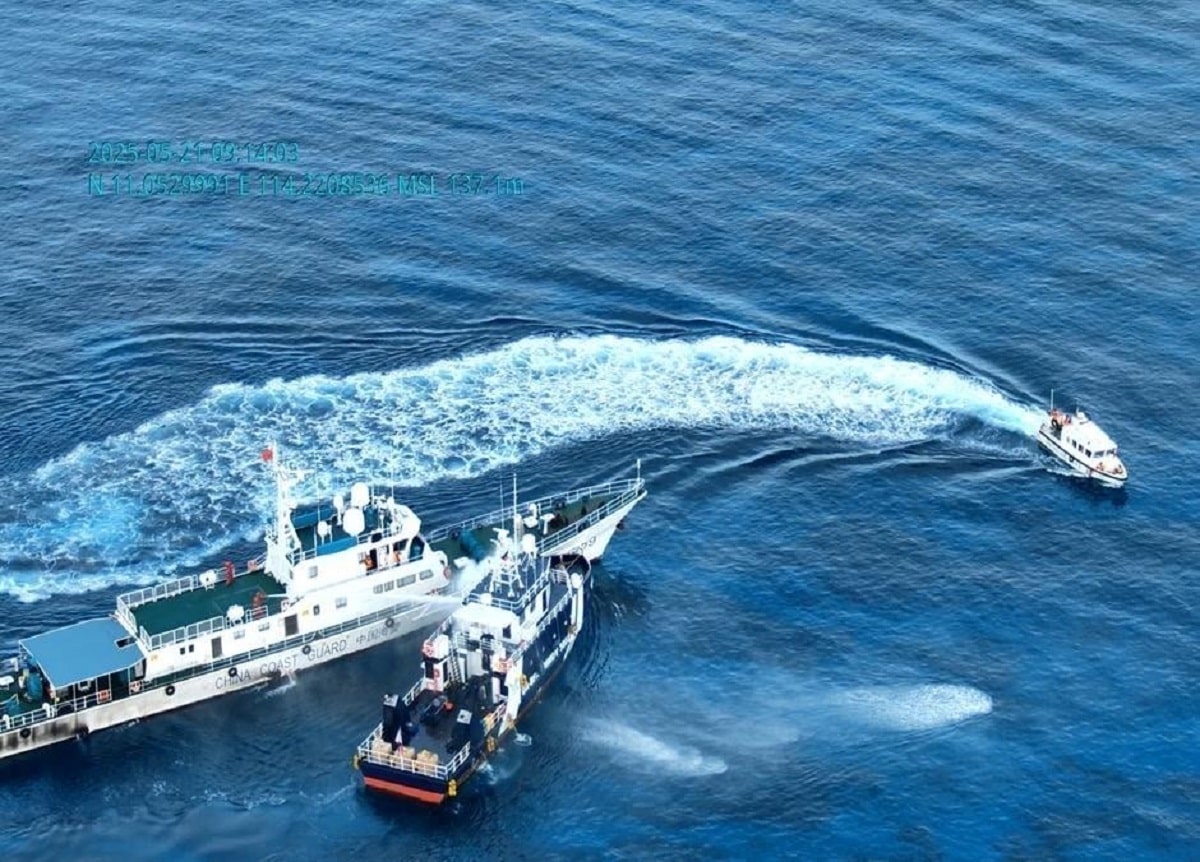
 Filipino Distrust in China Grows Amid West Philippine Sea Tensions
KillBait - News highlights delivered clearly and responsibly—no clickbait, no sensationalism
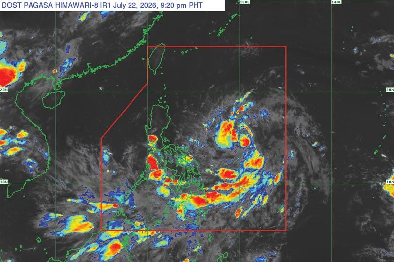
Photo: Philstar.com
2026-07-23 05:31 Current affairs 10


LPA Enters Philippine Area of Responsibility; Cyclone Development Delayed
The Philippine Atmospheric, Geophysical and Astronomical Services Administration (PAGASA) reported that a low-pressure area (LPA) has entered the Philippine Area of Responsibility (PAR), but its development into a tropical cyclone has been delayed due to insufficient cloud cover and exposure of its circulation center.
The LPA is expected to bring scattered rains and thunderstorms over Bicol, Eastern Visayas, and Romblon as it moves west-northwest toward Northern Luzon.
PAGASA warned that the system may be named Kiyapo once it intensifies, potentially affecting regions like the Cordilleras, Ilocos, Cagayan Valley, and parts of Central Luzon.
The southwest monsoon (habagat) will continue to influence weather patterns, leading to cloudy skies with isolated rainshowers in Metro Manila and other areas.The monsoon is also expected to dump significant rainfall over the Visayas and Mindanao until Sunday.
While the delay in cyclone formation reduces immediate risks, authorities advise residents to monitor updates and prepare for possible heavy rains and strong winds.
2186
Original title: LPA enters PAR; development into cyclone delayed
The AI system has determined that this news is not clickbait/sensationalist: : The original title is factual and straightforward, focusing on the LPA's entry into PAR and delayed cyclone formation without sensationalist language. This has coincided with the opinion of the majority of users.
You may also be interested in...
Filipino Distrust in China Grows Amid West Philippine Sea Tensions
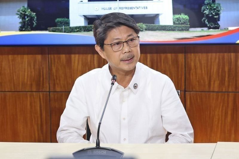 House Speaker Urges Protection of Food-Producing Provinces for National Food Security
 Philippine Authorities Seize Smuggled Cigarettes in Zamboanga and Lanao