
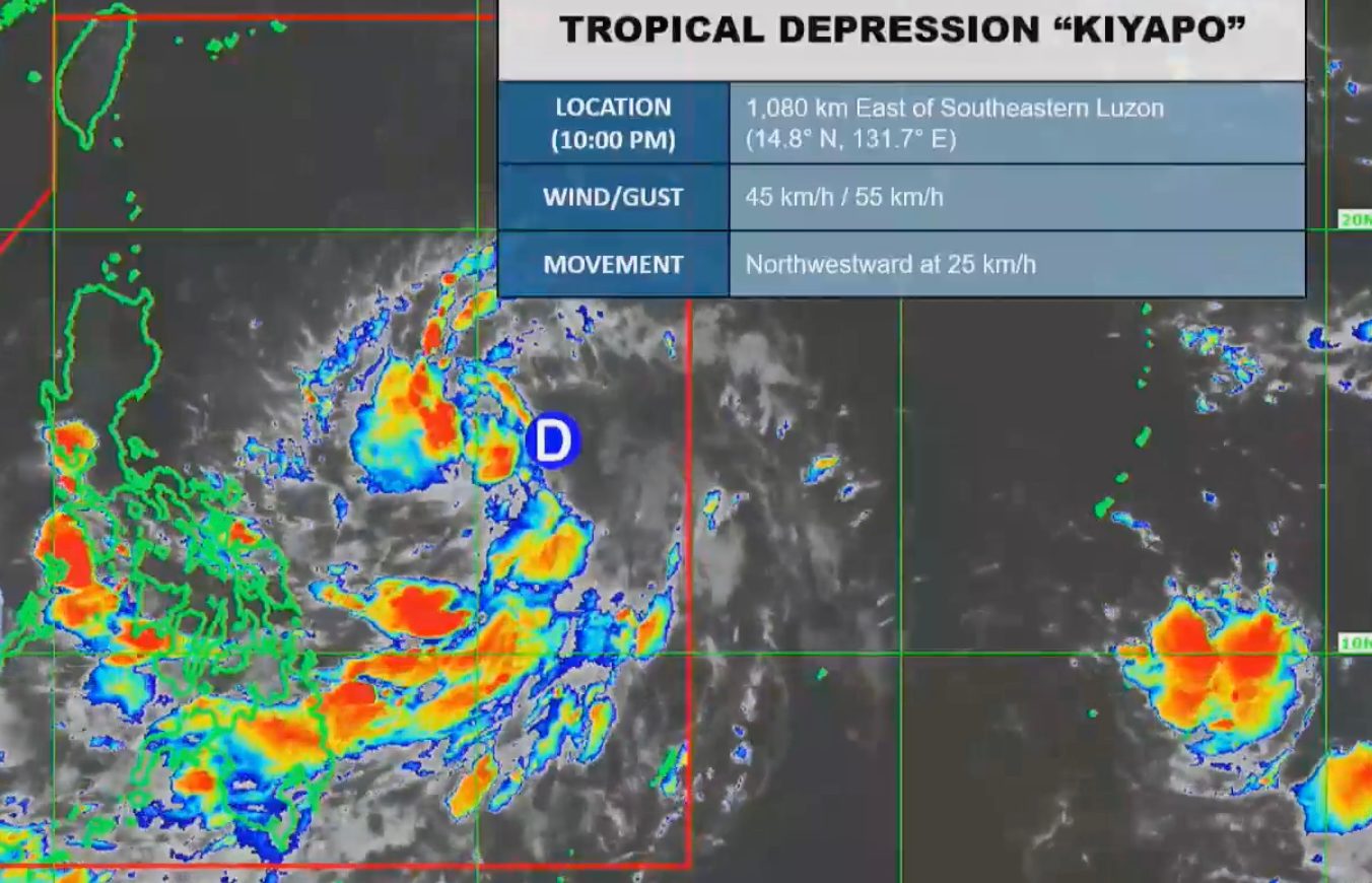
 Tropical Depression Kiyapo Approaches Cagayan; PAGASA Issues Forecast Updates
KillBait - News highlights delivered clearly and responsibly—no clickbait, no sensationalism
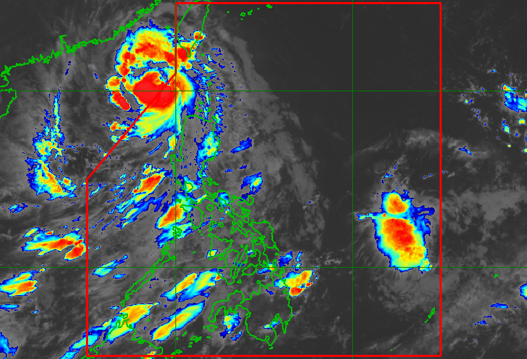
Photo: RAPPLER
2026-07-25 05:06 Environment 10


Typhoon Kiyapo Moves Out of PAR, Still Impacts Northern Luzon and Southwest Monsoon
Typhoon Kiyapo (Noul) rapidly intensified from a severe tropical storm into a typhoon on Saturday, July 25, 2026, exiting the Philippine Area of Responsibility (PAR) at 2 am.
Despite being outside PAR, it continues to affect Northern Luzon with moderate to heavy rainfall (50-100 mm) in Ilocos Norte, Ilocos Sur, Apayao, and Abra.PAGASA forecasts further strengthening before landfall in China, though it may weaken inland.The typhoon's maximum sustained winds reached 120 km/h with gusts up to 150 km/h.Signal No.1 remains active for Batanes, Cagayan, and other northern provinces due to strong winds.The southwest monsoon also contributes to scattered rain and thunderstorms in Central Luzon, Southern Luzon, Visayas, and Mindanao.Sea conditions remain rough, with waves up to 4.5 meters near Batanes.Kiyapo is the 11th tropical cyclone of 2026 and the fourth for July alone.
2186
Original title: Kiyapo rapidly intensifies into typhoon, leaves PAR
The AI system has determined that this news is not clickbait/sensationalist: : The original title is factual, providing specific details about the typhoon's status and PAGASA update without sensationalist language. This has coincided with the opinion of the majority of users.
You may also be interested in...
Tropical Depression Kiyapo Approaches Cagayan; PAGASA Issues Forecast Updates
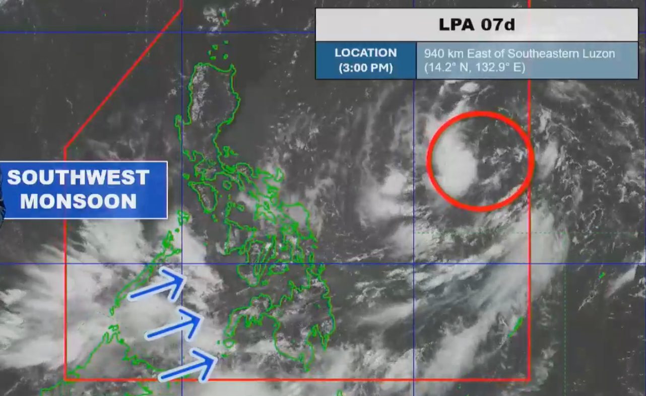 Potential tropical cyclone Kiyapo and southwest monsoon bring significant rainfall to Philippines
 Angat Dam Hits All-Time Low Water Level, Sparks Metro Manila Water Crisis